


MNOB Complete Streets Renovations – New striping and vertical flex posts to create parking protected bikeways and remove one lane vehicular traffic in each direction, as well as installing marked crosswalks, improving access to bus stops, and improving intersection geometry and sight distances at driveways between N. Peters Street and St. Claude Avenue.
Download Elysian Fields Avenue Worksheet from the City of New Orleans – Dept of Public Works.
Previous – Three lanes of vehicular traffic with on-street parking in each parking in each direction from N. Peters Street to St. Claude Avenue.
 Elysian Fields Avenue prior to improvements

MNOB Complete Streets Renovation – Repaving the roadway, designating the street as a bicycle boulevard
through signage and pavement markings, installing marked crosswalks, and improving intersection geometry and sight distances between N. Peters Street and St. Claude Avenue.
Download Franklin Avenue Worksheet from the City of New Orleans – Dept of Public Works.
Previous – One lane of vehicular traffic and on-street parking in each direction.

Franklin Avenue prior to MNOB renovation

MNOB Complete Streets Renovations – New striping and vertical flex posts to create parking protected bikeways and remove one lane of vehicular traffic, as well as, installing marked crosswalks, improving transit stops, and improving intersection geometry and sight distances between Decatur Street and Elysian Fields Avenue.
Download N. Peters Street Worksheet from the City of New Orleans – Dept of Public Works.
Previous – Two lanes of vehicular traffic with on-street parking on both sides of the street.

N. Peters Street prior to MNOB renovation
MNOB Complete Streets Renovations – Repaving the roadway, designating the street as a bicycle boulevard through signage and pavement markings, installing marked crosswalks, and improving intersection geometry and sight distances between Franklin Avenue and Esplanade Avenue.
Download Royal Street Worksheet from the City of New Orleans – Dept of Public Works.
Previous – One lane of vehicular traffic and on-street parking in each direction.

Royal Street prior to MNOB renovation
MNOB Complete Streets Renovations – New striping and vertical flex posts will create a one-way parking protected bikeway with the configuration of the right-side parking lane and bike lane reversed. High-visibility crosswalks, improved intersection geometry and sight distances adjacent to driveways.
Improvements to be installed between Canal Avenue and Howard Avenue.
Download Baronne Street fact sheet from the City of New Orleans – Dept of Public Works
Previous Configuration – On-street parking on both sides of Baronne along curb, with a buffered unprotected bike lane on right side.
Read our breakdown of the MNOB improvements coming to Baronne Street.

Baronne Street prior to Moving New Orleans Bikes renovation
MNOB Complete Streets Renovation – Improvements include adding stormwater management infrastructure, adding protected bike lanes, installing marked crosswalks, improving intersection geometry and sight distances at driveways. Between Howard Avenue and Common Street, the roadway will be reconfigured as a protected bike lane, a parking lane, two general travel lanes, a and parking lane. Between Common Street and Canal Street, the roadway will be configured as a protected bike lane, a parking plane, general travel lane, and a parking lane. The proposed improvements are designed to address pavement quality issues, improve overall safety, connect to existing bikeways, and make O’Keefe Avenue a more comfortable place to walk, bike, drive and use transit.
Download the O’Keefe Avenue factsheet from the City of New Orleans – Dept of Public Works
Previous – From Howard Avenue to Common Street, two lanes of vehicular traffic, an unprotected bike lane, and parking on both sides. From Common Street to Canal Street, two lanes of vehicular traffic and parking on both sides.
Click here to read our in-depth discussion on the O’Keefe Avenue improvements.

O’Keefe Avenue prior to MNOB renovation
MNOB Complete Streets Renovation – New striping and vertical flex posts to create parking protected bikeways and one lane of vehicular travel lane will be removed or reconfigured to exclusive turn lanes as needed, in both directions, between St. Charles Avenue and Loyola Avenue.
Download Howard Avenue factsheet from the City of New Orleans – Dept of Public Works
Previous – Two vehicular traffic lanes in each direction, with on-street parking on both sides.

Howard Avenue prior to renovations
MNOB Complete Streets Renovations – Improvements include adding protected bike lanes, installing marked crosswalks, improving intersection geometry and sight distances at driveways. Between Carondelet Street and S. Rampart Street, the roadway will be reconfigured as a two-way protected bike lane, parking lane, general travel lane, and parking lane. Between S. Rampart Street and Loyola Avenue, the roadway will be configured as a two-way protected bike lane, two general travel lanes, and a parking lane. The proposed improvements are designed to address pavement quality issues, improve overall safety, connect to existing bikeways, and make Julia Street a more comfortable place to walk, bike, drive and use transit.
Download the Julia Street fact sheet from the City of New Orleans – Dept of Public Works
Previous – Two vehicular traffic lanes in one direction, with on-street parking in each side and an unprotected bike lane.

Julia Street prior to MNOB renovation
The City of New Orleans’ Office of Transportation has not released an official factsheet for planned connection between the foot of the Lafitte Greenway and the French Quarter.
Below are protected bikeway installations modeled during the joint Coalition and City-lead demonstration, Connect the Crescent (more info further down the page).
Greenway Connector elements during 3-month Connect the Crescent demonstration –
- Protected lane on Basin to Toulouse St
Contraflow bike lane on St Louis St to Rampart St
Left-turn at island converted to protected contraflow lane
Green bike crossings in both directions – Basin @ St. Louis


Lafitte Greenway Connector along Basin Street during ‘Connect the Crescent’ protected bikeway demonstration in 2018
The City of New Orleans’ Office of Transportation has not released an official factsheet for planned construction of a 2-way protected bikeway running along the lakeside of the street across from the historic French Quarter.
The proposed facility is featured within the City’s Digital Bikeway Blueprint (see below) as a prioritized corridor to serve as a key connection between low-stress facilities in the Central Business District, the Lafitte Greenway, 7th Ward bikeways, and the French Quarter.

North Rampart Street before MNOB improvements
MNOB Complete Streets Renovation – New traditional striped bike lane along left-side of Decatur, with improved intersection geometry and sight distances between Esplanade Avenue and Dumaine Street.
Download Decatur Streets fact sheet from the City of New Orleans – Dept of Public Works.
Previous – One lane of vehicular traffic with one lane of parking.

Decatur Street prior to improvements


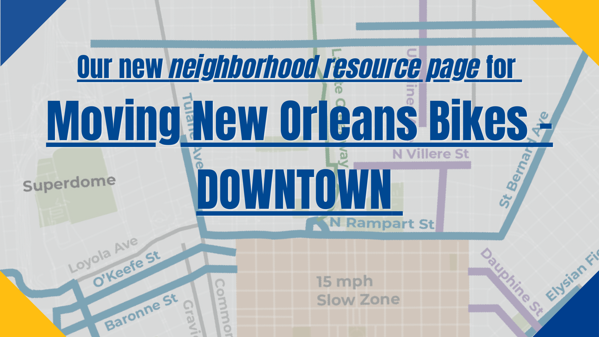
The Neighborhood Resource Page for Moving New Orleans Bikes – Downtown
We’re going downtown! The New Orleans downtown area, comprised of the Central Business District, French Quarter, and Marigny, is our major job center, arts & cultural center, and regional transportation hub. That’s why we’re…
Our open letter to Mayor Cantrell showing support for protected bikeways in downtown New Orleans
Dear Mayor Cantrell, We see you and thank you for continuing to work for safe & accessible streets for everyone in New Orleans, despite the many challenges brought to bear…


